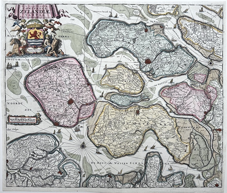
Kaart Holland
OverzichtOmschrijving: Kaart Holland " Le comte de Hollande/ Kaart van Holland en Westvriesland"
Techniek: Kopergravure
inkleuring: Uit de tijd
Maker: Johannes Ratelband, 1672 - 1730.
Datering: Vierde staat 1706 - 1727, editie "Kleyne en Beknopte Atlas, of Tooneel des Oorlogs in Europa..".
Beeldmaat H x B: 15.2 x 22.7 cm.
Prijscategorie lijst: (C)
Conditie: Goed


