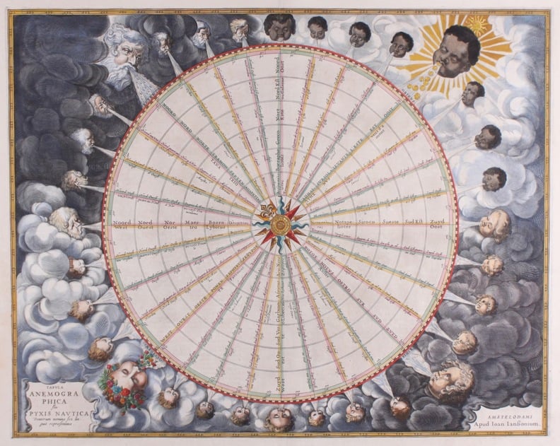
Map of Holland.

Item 10 of 22
€ 575,00
Overview

Description: A map of the province Utrecht, North and South Holland "Hollandia Comitatus".
Technique: Copperengraving
Artist: C. Merian
Coloration: Later date
Dating: Approximately 1654
Image size: 25.0 x 35.0 cm (H x W).
Price category framing: (C)
Condition: Good

New

It is also possible to reserve a chart or map. If you choose in the payment process that you will collect the map or chart we will reserve the map for one week without any obligation.

New in collection.

More information.

Certificate of authenticity.

View conditions.

Last update

April 7th, 2016.

Free delivery Europe.


© 2015 - 2024 Prenten Antiquariaat "Delfshaven" | sitemap | rss | ecommerce software - powered by MyOnlineStore